favorite itinerary: visiting chiricahua national monument
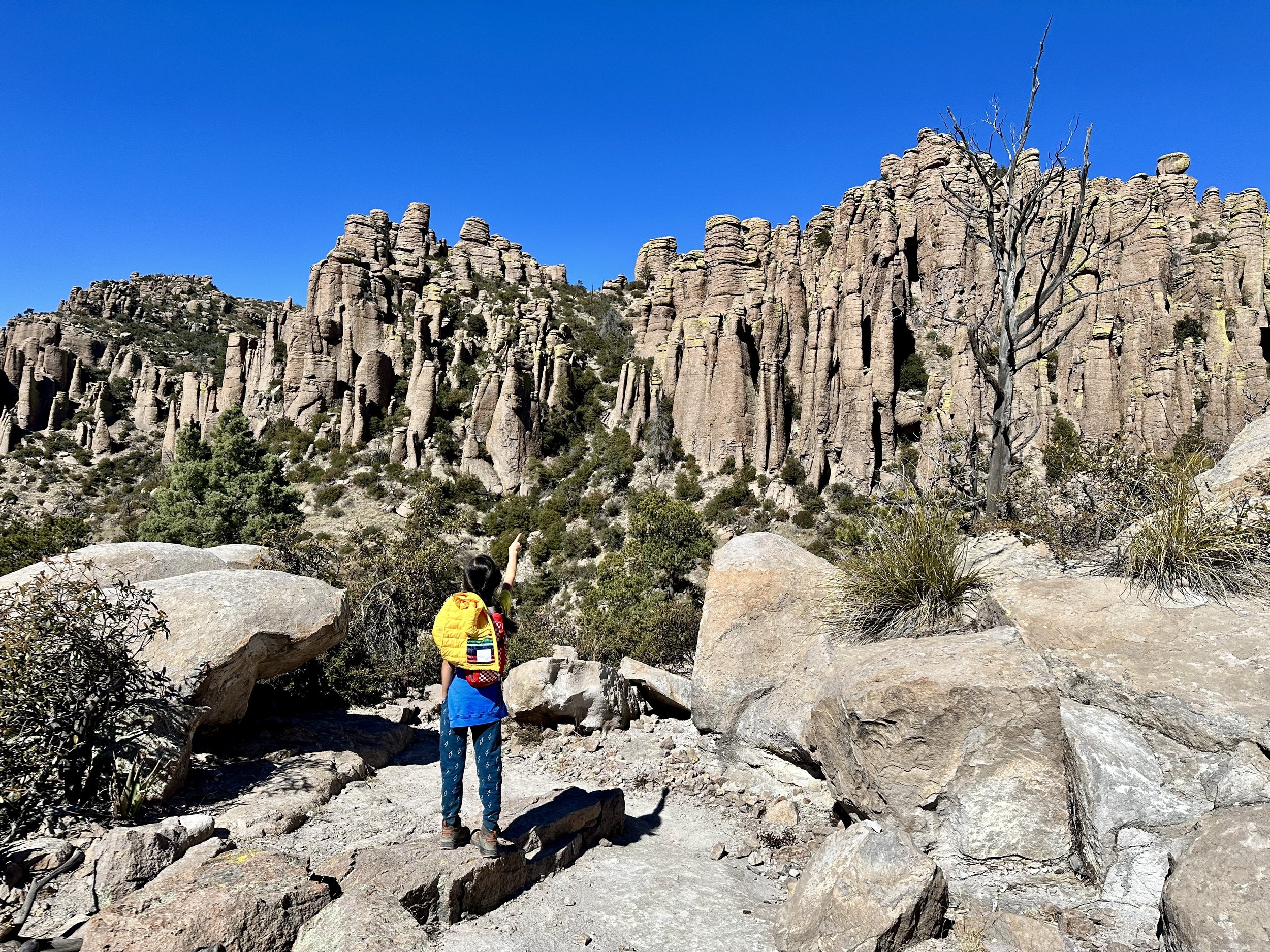
kiddo points up at the rhyolite formations in chiricahua national monument
this post includes affiliate links. any purchases made from affiliate links may provide me with a small amount of compensation. it will not affect the price or other terms of your purchase with the vendor.
ever wonder what would happen if bryce canyon and pinnacles national parks got together and had a baby? for the very select few who said “yes!”, i have the answer for you! it’s chiricahua national monument, and it’s in southeastern arizona.
chiricahua national monument is an extraordinary surprise in far eastern arizona. with otherworldly rhyolite formations, exciting grottoes, and plenty of trails, it’s a great addition to any arizona road trip or southwest vacation!
land of the chiricahua apache
the land presently known as chiricahua national monument is the indigenous homeland of the chiricahua apache. it’s important to note that when they were given the name “apache” by the spanish, it was not a name the indigenous people took on. instead, they used variations of “nde”, meaning “the people”, to refer to themselves. since then, the tribe has claimed the name and are outwardly identified as the sovereign nation of the chiricahua apache. (it’s also worth noting that not all indigenous peoples who were assigned “apache” find the term acceptable.) a little about the chiricahua apache’s origin beliefs:
“the chief deity of the Chiricahua Apache was Ussen, whose will governed all. Ussen existed before the creation of the universe. He created the first Mother with no parents who sang four times, a sacred number to the Chiricahua Apache. Her singing began the creation of the universe. Ussen also created the first Boy and Sun God who shook hands. the sweat from this handshake created the Earth. the Earth was small at first, so they kicked it around and it gained mass like a snowball rolling down a hill, getting larger and larger. Ussen also created Tarantula, who increased the Earth’s size even more by pulling on it with four cords of web which he spun. Ussen then created the first people and fire and then he left. Ussen continues to watch events unfold from afar and still intercedes from time to time.”
what to bring to chiricahua national monument
kiddo hikes up sugarloaf mountain in chiricahua national monument
chiricahua national monument sits at higher elevations than the surrounding areas in arizona. because of this, it tends to be cooler and layers are recommended for much of the year. while it can get warmer in summer, chiricahua national monument does experience all four seasons. we visited in february and it was in the 20s. the roads were clear, but there was still snow and ice on some of the trails.
base layers: wool base layers will keep you comfortable while exploring this park. i have this top and these bottoms from smartwool, which are best for cooler temps. there’s also this lighter weight top and these lighter weight bottoms which are great for year round! (yes, these are pricey. i will say i absolutely love them and they work exactly as they should, along with being super comfy. i highly recommend them!)
microspikes: if you’re visiting in winter, you’ll definitely want to bring microspikes. while we saw some snow and ice on most trails, one of the trails we did was extremely icy and we would have fared a lot better with microspikes. these look good for adults and here’s a great option for kids.
hiking poles: though we didn’t have microspikes, we did have our hiking poles on hand, and they were an absolute lifesaver. i highly recommend these for any season as most of the trails are fairly rocky with some rough terrain.
good shoes: i also highly recommend sturdy boots. kiddo currently wears these hiking boots. i have high arches and am always alternating between boots. my two favorite pairs these days are these and these. in warmer weather you could likely get away with some good hiking sandals in this park. i have these and kiddo wears these.
a note about camping in chiricahua national monument
there is an option to go camping in chiricahua national monument. there is just one campground in chiricahua that is largely for tents or vans, though some spaces could fit smaller rvs. there are no hookups or dump stations. restrooms and potable water are available. it’s very near to the chiricahua national monument visitor center.
because of the very low temperatures, we opted not to camp in chiricahua national monument. however, the campground was still completely full when we visited!
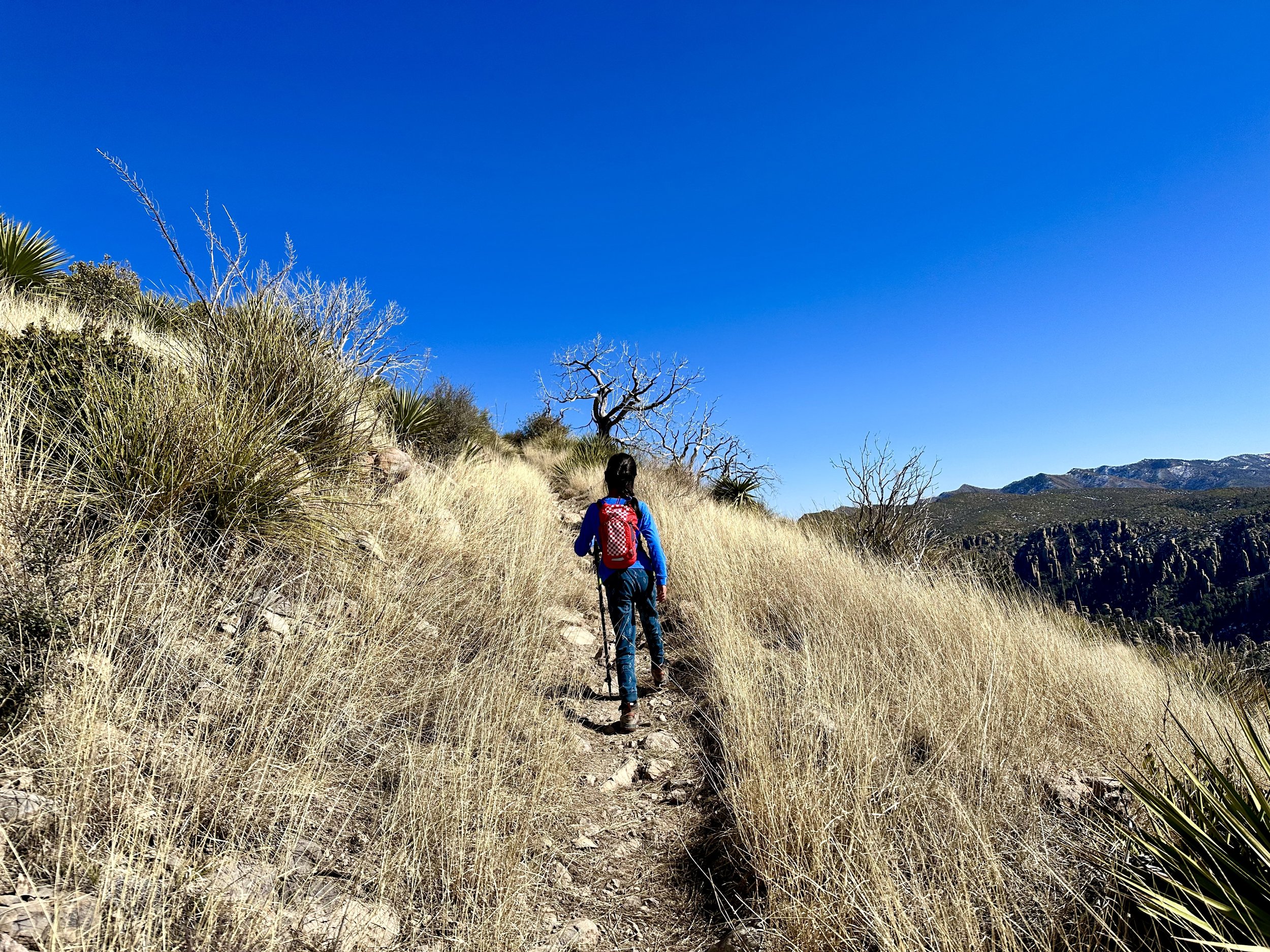
kiddo hiking a trail in chiricahua national monument
chiricahua national monument itinerary
there’s a fair amount to explore in chiricahua national monument, and 2 days in chiricahua or 3 days in chiricahua national monument would probably be ideal. we only had one day and because it was winter there weren’t any program options to take part in. so, we went hiking - a lot! if this much hiking isn’t for you, check out the “if you have more time” section below for what to do in chiricahua national monument.
one day in chiricahua national monument
visitor center: start out the visitor center, especially if you are visiting in winter. they will have information about the latest trail conditions and can help you decide which trails are best for your group on the given day.
hike massai point nature trail: drive the bonita canyon scenic drive to the upper elevations of the park at massai point. here you’ll find a nice nature trail that will bring all the wonder and excitement about exploring the park’s rhyolite pinnacles further. note - these are several interesting pullouts on the way up. i recommend stopping at these on the way down because they are on the opposite side of the road and have extremely limited parking and visibility.
hike sugarloaf mountain trail: make your way back down bonita canyon drive to the turnoff for echo canyon and sugarloaf mountain. after turning you’ll quickly come to another turn for echo mountain. keep heading up - you’re going to hike the highest point in the park: sugarloaf mountain! this trail brings sweeping views the whole way and takes you to an old fire lookout. once you’re back down, take a nice break and enjoy a picnic lunch before heading back down the road to the echo canyon loop trailhead.
hike echo canyon loop: this is an absolutely fabulous trail that takes you right down into the pinnacles. while sugarloaf mountain has steeper elevation gain, this hike was definitely the toughest of the three - we’d rate it moderate. we hiked it clockwise, which kept the best part for near the end: the grottoes! if you don’t have much time, you should start counterclockwise, hit the grottoes and then turn back. they are absolutely worth seeing if you’re able! note - this loop is made up of a series of trails by differing names. be sure to bring your map. the intersections are well marked, but it can be confusing because you’re technically transitioning to a new trail at each one.
checkout the viewpoints on the bonita canyon scenic drive: on your way back down bonita canyon drive, take the opportunity to stop at the pullouts along the way. our favorite was the organ pipe formation, which was a fun coincidence since we had just visited organ pipe cactus national monument (itinerary here)!
if you have more time in chiricahua national monument
one of the things we regret is not having more time for wildlife viewing, which is much more likely in the lowest elevations of the park. here’s a list of places we wish we could have visited if we had more time in the park.
visit faraway ranch historic district
view the wildlife at bonita creek
hike the natural bridge trail
hike the silver spur meadow trail
i sincerely hope this guide to chiricahua national monument encourages you to go out wild and explore this fascinating place. i found myself oohing and aahing a whole lot more than i expected and hope you experience the same!


